This “Walking The Via Francigena” series of posts follow us, David and Gail, as we continue our walk along the Via Francigena pilgrimage route between Canterbury and Rome. In the fall of 2019, we completed the first leg from London to Canterbury, known as the Chaucer Way, and onward to the small town of Tergnier, France on the Via Francigena. A pandemic got in the way but now, in 2022, our trek is underway once again, this time taking us from Tergnier to Besançon over 23 walking days and 580 or so kilometres.
Notes from today’s walk:
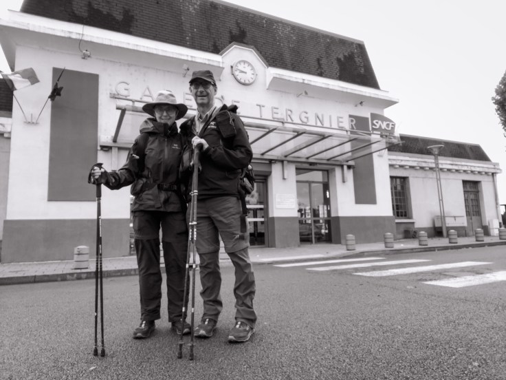
Today was a longish trek, a rude start for our first day of walking–not just on this trip but on our first day of walking since completing stage one of the Via Francigena from London to Canterbury to Tergnier, way back in the fall of 2019. Because we are stationed in a Laon hotel for three nights, we took a train early this morning to Tergnier and walked back to Laon and were able to leave most of our weighty belongings at the hotel. It makes a difference!
Our plan was to walk a 33 km “alternative route” but that, unfortunately, followed a few too many highways without walkable shoulders. The 38 km “official route” for the Via Francigena followed beautiful forested paths but the gpx tracks were woefully inaccurate. In the end, our blend of the two routes took us over the 40 km mark! Nothing a bottle of Lirac and a good Charolais steak couldn’t cure!
In the audio clip below, Gail and I take time during our trailside lunch to reflect on the trek thus far. Beyond that point, the rain showers that followed us earlier in the day slowly disappeared. Just before our final assault to the hilltop medieval city of Laon, as we made our way through the forests at the base of the city, a sobering reminder of the First World War unexpectedly made an appearance. Set in a small opening in the dark woods lies a grassy square of iron crosses. This is the Laon Champ de Manoeuvre, the final resting place for 3487 German soldiers who fought in nearby fields of battle.
Walk Date: Sep 9, 2022
Distance: 40.9 km
Elevation Gain: 882 m
Read on to view today’s photos, a soundscape captured along the route and an interactive map.

Click the images below to view a full-screen slideshow.


Today’s route.

Overview map of the route from Tergnier to Besançon.

The donkey is a sweetheart! Can we take him home? Rather rainy weather there …. very brave spirits for you two! And that Gail – always eating! Does David get a snack every now and then?
We wanted to take the donkey home. It was very affectionate. And, not to worry, I am well fed!
Beautiful walk. Are there many other walkers on the way?
Thanks Murray. We are just one day into this year’s walk on the VF but we have not met any other walkers. Our previous stage in 2019 from Canterbury to Tergnier was very similar, we met a small handful of VF walkers over the entire time. I understand it gets better in Italy.