If you look at a map of North Vancouver, three geographical elements appear to define its character: the mountains that line its northern edge, Vancouver Harbour to the south and, in between these two natural barriers, Highway One as it rips through on its transcontinental journey across Canada. All are east-west lines, effectively squeezing the district into a long, narrow box.
The walker sees North Vancouver differently, from a perspective only available to those on foot. The walker sees the city as a network of paths following the course of rivers and streams as they run north-to-south down the slope of North Vancouver. Shoelaces that naturally tie together mountain and sea. Forces of nature cutting across the otherwise impenetrable barrier of The Highway and breaking down the organized grid of streets.
What follows is a remapping of North Vancouver based on several walks that trace the north-south flow of its waterways.
The Capilano River is a good place to start.
The river runs defiantly on its broad path south from Capilano Lake down to Burrard Inlet and Vancouver Harbour. Nothing gets in its way. It undercuts The Highway. City streets stop dead at its edges. And along its banks, the walker can ply the full width of the city, starting with the relative calm of Capilano Lake and ending at Vancouver Harbour, with Squamish First Nations lands on one shoreline and the posh shopping centre of Park Royal on the other (also on Squamish land).
This particular journey starts on an early December morning at the home of my sister and her husband. Their house is nestled in the treed oasis of another, much smaller body of water, Mackay Creek.
Here, at the start of my trek, I need to skip west, crossing over the Mackay and down a series of streets until I connect with the Capilano River. As this series of walks will prove, moving in a north-south direction can be accomplished on paths lining rivers and streams. Any movement in an east-west direction relies entirely on streets and highways.
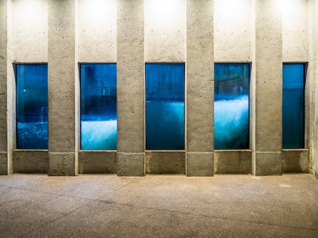
I touch upon Capilano River at the Capilano River Hatchery. It’s a Brutalist display of architectural concrete, tucked at the bottom of the river valley, water rushing noisily just below. Punched into concrete walls are portholes, some displaying an active fish ladder. Others display an array of fish in glass tanks, with little stainless steel plaques below to identify the species. It’s all very educational but, standing back from the portholes and taking in the whole, there is a macabre quality to the scene. Little fish in their little glass bowls, trapped in a massive concrete wall.
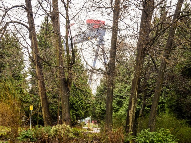
My walk continues south on the Capilano Pacific Trail, following the east bank of the river. This delightful path will take me towards Burrard Inlet. I head down forested paths, under the massive bridge supporting Highway One and, as the tree cover thins, into the residential and commercial development lining Vancouver Harbour.
It’s been an enjoyable walk so far but I have taken my time getting this far, just the halfway point of my trip. I realize I will be getting back to my sister’s place at a woefully late hour. Time to drop off at the Park Royal shopping complex to pick up a platter of sashimi at the Japanese market. A peace offering, if you will. Fortunately, this is winter and, although a Vancouver winter is a far cry from my hometown Winnipeg, it is still refrigerator cold. Cold enough for the sashimi in my backpack.
I leave the shopping centre in a pelting rain. My trip thus far has been on-and-off drizzly. But I now find myself in the midst of a full-on rainstorm. Very atmospheric. Very cold.
I’m on an eastward trajectory once more. And, once more, I am following a grid of streets as I make my way across the residential and industrial developments on Squamish land until I reach the southern extent of Mackay Creek. A trail takes me north alongside its banks. The stream cascades over the creek’s rocky bed. Its watery tune complements the plucking sound of raindrops hitting the ground and the broad rim of my rainhat. Eventually my northbound progress is halted by the imposing breadth of The Highway. The creek path fades at this point and I am forced to take an unscripted route eastward, alongside the road, passing through forests and school yards until I reach a more friendly north-south pathway, this time along Mosquito Creek.
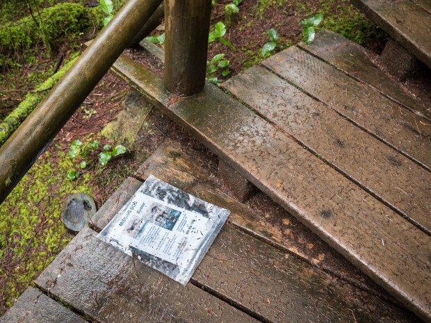
The Mosquito Creek will become a favourite walking trail this Christmas. But today it is a matter of slogging through the wet, cold terrain. Warmth finally comes in the form of a tree near my exit from the forested creek valley. Decorated with Christmas ornaments, adorned with plastic-wrapped pictures of dogs that have passed away, it is a reminder that the waterside trails of North Vancouver are needed escapes into nature for our canine pals, just as much as they are for their companions.
Just a kilometre or so later, after a westerly traverse of residential streets, I greet my sister. Late. Dripping wet with mud-laden shoes.
But the sashimi is fresh.


